
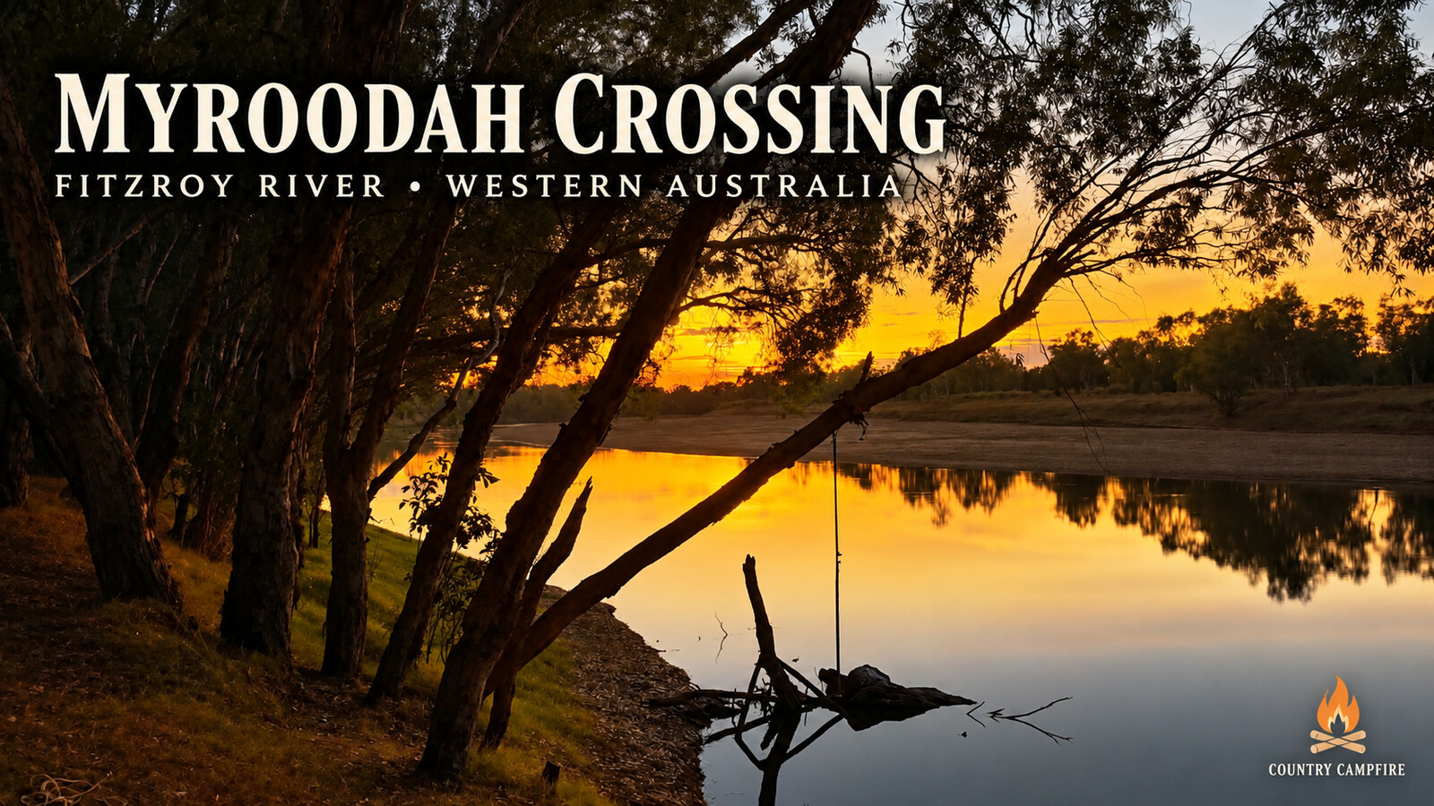
Myroodah Crossing is the sort of riverside camp that can quietly turn an overnight stop into a four-night stay. Gary Barten and his partner pulled in with their caravan and two dogs in August 2026, choosing a shaded spot beneath the paperbarks beside the Fitzroy River.
There are broad campsites on the southern, upstream side of the concrete causeway, but the pair settled immediately north of the crossing. Their camp sat close to the river, with shade through most of the day and the water only a short walk away.

Quick Campfire Notes
- Campground: Myroodah Crossing
- Nearest town: Willare, Western Australia
- Coordinates: -18.0805740, 124.2250400
- Visited: August 2026
- Cost: Free when Gary visited
- Setup: Caravan; couple travelling with two dogs
- Facilities: None — this is a basic bush camp
- Campsites: Large riverside sites with paperbark and river-gum shade
- Access: Sealed highway followed by an unsealed, corrugated road
- Best suited to: Self-sufficient travellers
- Would they stay again? Absolutely
Camping beside Myroodah Crossing
The concrete causeway crosses the Fitzroy River here, with camping areas on both sides. Gary found large sites upstream on the southern side, backed by river gums and looking towards the river. During their stay, the water sat roughly 100 metres from some of those sites, across soft river sand.
Their chosen site was on the northern, upstream side, right beside the river and close to the causeway. Paperbarks kept the caravan shaded for virtually the whole day — wonderful for camp comfort, although it eventually meant the solar panels could not keep up. After four nights, a low battery finally gave them the nudge to move on.
Why they stayed four nights
For Gary, Myroodah Crossing offered the right mix of slowing down and having something to do. They relaxed beside the water, tried their luck for cherabin, cast-netted live bait and spent time fishing for barramundi. Four decent barra found the snags or defeated the rig before reaching the bank, leaving behind exactly the kind of fishing story that grows around a campfire.
Swimming and crocodile country
On their first day, Gary saw local Indigenous families from Looma swimming downstream of the causeway. He and his partner joined them in a clear, sandy area that was around knee deep. They also saw freshwater crocodiles upstream during their stay.
That is Gary’s account of one visit, not a recommendation that the river is safe for swimming. Myroodah Crossing is in crocodile country. The WA Department of Biodiversity, Conservation and Attractions advises people to assume water bodies in the Kimberley may contain dangerous crocodiles and, when in doubt, not to swim, canoe or use small boats. Read the department’s current crocodile guidance, obey local warnings and keep people and dogs well back from the water’s edge.
Fishing, cherabin and four barramundi that got away
The Fitzroy River kept the camp interesting. Gary trapped cherabin and used a cast net to collect live bait. The barramundi were there too, although landing one proved another matter: four solid fish were hooked, only to find a snag or expose a weak point in the tackle.
Fishing rules and closures can change, so check the current Western Australian requirements before putting in a line, net or trap.
The tiny fish with a brutal sting
One of the smallest catches supplied the biggest surprise. A fish about the size of a 50-cent piece raised its dorsal spines and caught Gary on the finger. The pain was immediate and intense, followed by swelling and throbbing.
Gary later searched online and believed the fish was a striped butterfish, learning that its dorsal spines can be venomous and should be handled carefully. When more turned up in the catch, they received considerably more respect. The illustration below is based on the reference screenshot Gary supplied; it is not a photograph of the exact fish or a formal identification.

Getting to Myroodah Crossing
From Willare Roadhouse, Gary’s directions are to follow the Great Northern Highway for about 55 kilometres to the Camballin turn-off, then travel approximately 38 kilometres to the crossing. From Fitzroy Crossing, travel west on the Great Northern Highway for about 175 kilometres to the Camballin turn-off.

Road and vehicle access
Gary described the turn-off and run in as straightforward during his August visit. The unsealed section was corrugated and took them about 30 minutes. They aired down the tyres on both the tow vehicle and caravan and considered the road suitable at the time for vehicles, campers and caravans.
That was one dry-season experience, not a guarantee of present conditions. Gary expects the unsealed roads may close in wet weather and the crossing may become impassable when the river is high. Check the Main Roads WA Travel Map and seek local advice before setting out.
Myroodah Crossing coordinates
Coordinates: -18.0805740, 124.2250400
Open directions to Myroodah Crossing in Google Maps. Download or screenshot the directions before leaving reliable mobile coverage.
Download proper offline navigation before leaving phone coverage
Photos from Myroodah Crossing

The concrete causeway at Myroodah Crossing on the Fitzroy River. Photo: Gary Barten. 
Gary’s shaded riverside campsite on the northern side of Myroodah Crossing. Photo: Gary Barten. 
Looking across the Fitzroy River from the Myroodah Crossing camp. Photo: Gary Barten. 
Casting for live bait in the Fitzroy River at Myroodah Crossing. Photo: Gary Barten. 
A successful cherabin catch during the stay at Myroodah Crossing. Photo: Gary Barten. 
Late-afternoon light through the paperbarks beside the Fitzroy River. Photo: Gary Barten. 
Sunset over the Fitzroy River at Myroodah Crossing. Photo: Gary Barten.
Would They Stay Again?
Absolutely. Gary reckons Myroodah Crossing has the perfect combination of relaxing, swimming and fishing. The paperbark shade, riverside setting and room to settle in made it one of those camps that was hard to leave — even if the solar-starved battery eventually made the decision for them.

Gary & Christine Barten
Travellers • Campers • Campground Contributors
Gary and Christine Barten are Australian travellers whose love of remote camping, country towns and the road less travelled has helped showcase some of Australia’s hidden campground gems through The Campground Project.
Part of The Campground Project
This campground yarn is part of The Campground Project — real camping experiences shared by travellers to help others know what to expect before they arrive.
A quick note before you travel
Conditions, access, fire rules and camping arrangements can change. Myroodah Crossing is a remote, facility-free bush camp beside a river in crocodile country. Check road and weather conditions, local restrictions and current safety advice, carry sufficient water and supplies, and leave no trace.